Next-Gen Drone Autonomy
Empowering UAVs with the intelligence to navigate complex environments with surgical precision and total independence.
Autonomous Pathfinding
ZephyrNav’s proprietary algorithms redefine flight safety and efficiency. Our software stack integrates directly with existing drone hardware to provide real-time environment mapping and decision-making.
- Collision Avoidance: 360-degree sensor fusion for dynamic obstacle detection and rerouting in milliseconds.
- BVLOS Operations: Stable, redundant navigation systems for Beyond Visual Line of Sight missions over long distances.
- Hardware Agnostic: Seamless API integration with enterprise-grade DJI, Parrot, and custom-built UAV platforms.
Industry Applications
Precision Agriculture
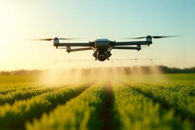
Automated spraying patterns that adjust based on crop health data and topography, maximizing yield while reducing waste.
Logistics & Delivery
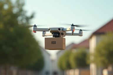
Intelligent last-mile routing specifically designed for dense urban environments and autonomous depot-to-door missions.
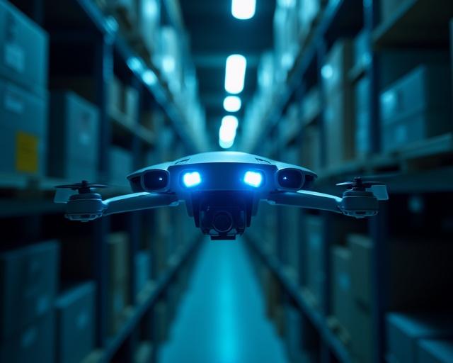
Surveillance & Security
Scheduled automated perimeter checks and object tracking for industrial security, maintaining surveillance without human intervention.
Ready to Automate Your Flight Operations?
Get in touch with our spatial data experts for a custom solution walkthrough.
Contact Our Engineers