From Military Tech to Everyday Essential: The GPS Story
The Origins of Orbit
Global Positioning System (GPS) technology began as a Department of Defense project in the 1970s. Originally known as NAVSTAR, the system was designed to provide all-weather, 24-hour positioning for military assets. It wasn't until the 1980s, following a global aviation tragedy, that the system was opened for civilian use, albeit with restricted accuracy (Selective Availability) that was only fully removed in 2000.

Modern GNSS Systems
Today, GPS is just one part of GNSS (Global Navigation Satellite Systems). Modern receivers communicate with multiple constellations including Galileo (EU), GLONASS (Russia), and BeiDou (China). This multi-constellation approach ensures that even in dense urban canyons or remote mountains, users maintain a lock on highly accurate spatial data.

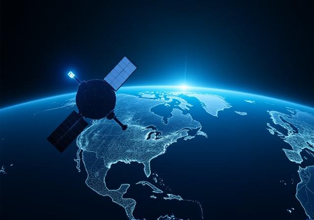
The Global GNSS Network: A dense web of spatial data.
Centimeter-Level Accuracy: The Final Frontier
We are moving past the era of "you are within 5 meters." With Real-Time Kinematic (RTK) and Precise Point Positioning (PPP), the next generation of mapping allows for accuracy within 1-3 centimeters. This precision is vital for autonomous drones, agricultural robotics, and automated construction equipment.

ZephyrNav: Pioneering the Next Gen
At ZephyrNav, we don't just use GPS; we enhance it. Our bespoke mapping solutions and drone navigation systems utilize proprietary spatial data analysis to bridge the gap between satellite signal and ground-level reality. Whether it's guiding a delivery drone to a specific porch or mapping complex industrial sites, ZephyrNav is at the forefront of the positioning revolution.